When it comes to buying land online, it's essential to know every detail about the property you are interested in before making a purchase. One of the most valuable resources at your disposal is Google Maps. With this tool, you can analyze the property from a bird's eye view, explore the surrounding neighborhood, and even measure the exact size of the land. In this blog post, we'll discuss the benefits of using Google Maps when buying land online and how it can help you make the best decision for your future property.
Analyze the Property
When buying land online, it's important to know every detail about the property you are interested in. Google Maps can help you analyze the property from a bird's eye view, allowing you to see the surrounding landscape and terrain. You can view the type of vegetation and topography of the property, which can help you determine if the land is suitable for your needs. If you are planning to build a house, you can ensure that the land's slope is ideal for your construction and that the area is free of potential hazards like sinkholes or flood-prone zones.
Discover the Surrounding Area
Using Google Maps, you can explore the surrounding neighborhood of the property and see what amenities are available nearby. You can find out if there are any schools, hospitals, supermarkets, etc. in the area. The street view feature can help you take a virtual stroll around the neighborhood and get a feel for the local vibe, giving you an idea of the atmosphere and community that you're about to be a part of.
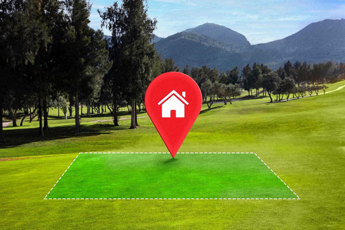
Measure the Land
One of the critical things to know before buying land is its size. With Google Maps, you can measure the exact size of the property you're interested in. There is a built-in measuring tool that allows you to calculate the land's size in square feet, acres, or any other desired unit of measurement. This information can be helpful when it comes to financing your land purchase since you'll know precisely what you're buying.
Check for Obstructions
Google Maps can show you any potential obstructions on the land, such as power lines, pipelines, etc. With this, you can plan accordingly and avoid building or planting anything that might cause problems in the future. It's essential to take note of these things beforehand so that you can adjust your plans accordingly.
Save Time and Money
Using Google Maps to analyze and research a property before buying can save you time and money. You can quickly determine if the property meets your need, making you feel more confident in your purchase. As a result, you can move forward with a transaction and avoid investing in a property that ultimately may not be worth your time and money.
Conclusion
In conclusion, using Google Maps when buying land online can make your life much easier. It allows you to analyze the property, discover the surrounding area, measure the land's size, check for obstructions, and save time and money. With all that said, it's essential to remember that technology is not a replacement for due diligence. Always gather all available information regarding the property, so you can make an informed decision before buying. If you're looking for assistance with site development in Ormond Beach, look no further than Rogers Landworks. Contact us today, and we'll provide you with a free estimate.